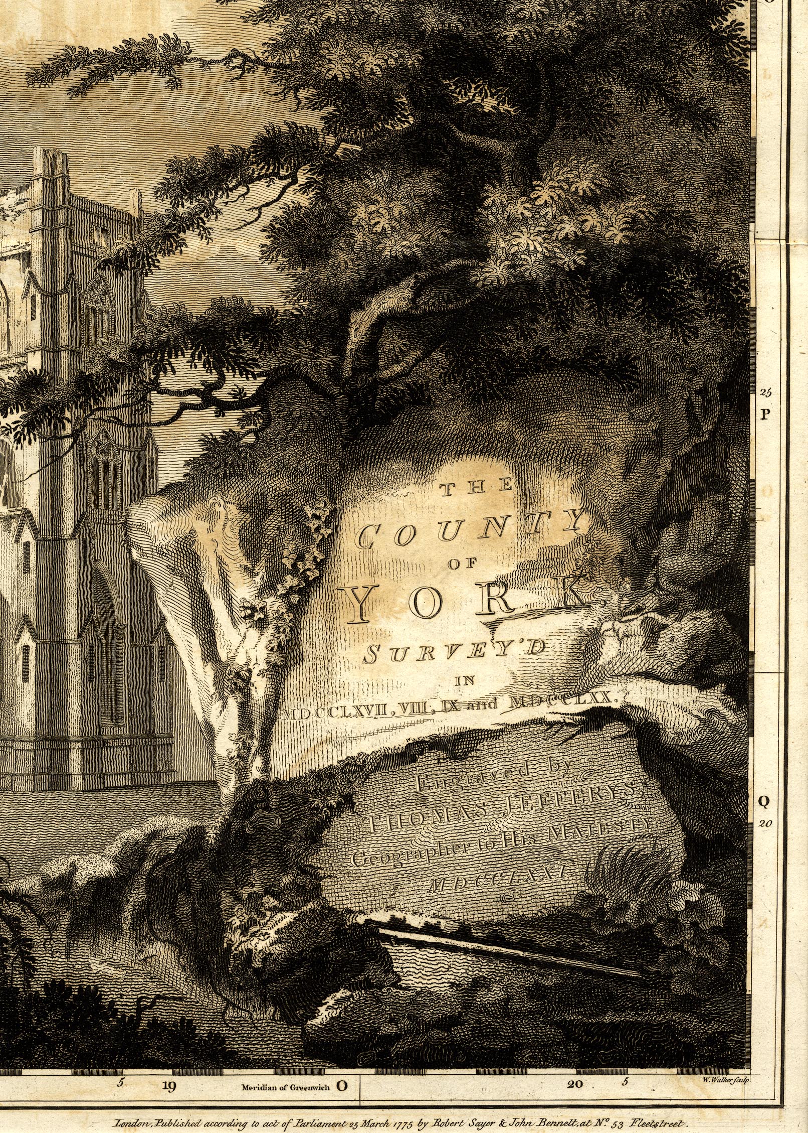
Map, A Topographical Survey of the County of York, scale about 1 inch to 1 mile, by Thomas Jefferys, 1767-1771, published by Robert Sayer and John Bennett, 53 Fleet Street, London, 1775. (Jefferys 1771)
Lakes Guides menu.
 Lakes Guides menu.