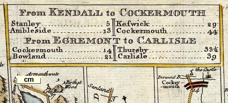
Road strip maps with sections in Westmorland, Cumberland etc, scales about 1.5 miles to 1 inch? derived from maps by Ogilby, 1675, and by John Senex, 1719 and 1757, by Thomas Jeffery, London, 1775. (Jefferys 1775)
Lakes Guides menu.
 Lakes Guides menu.