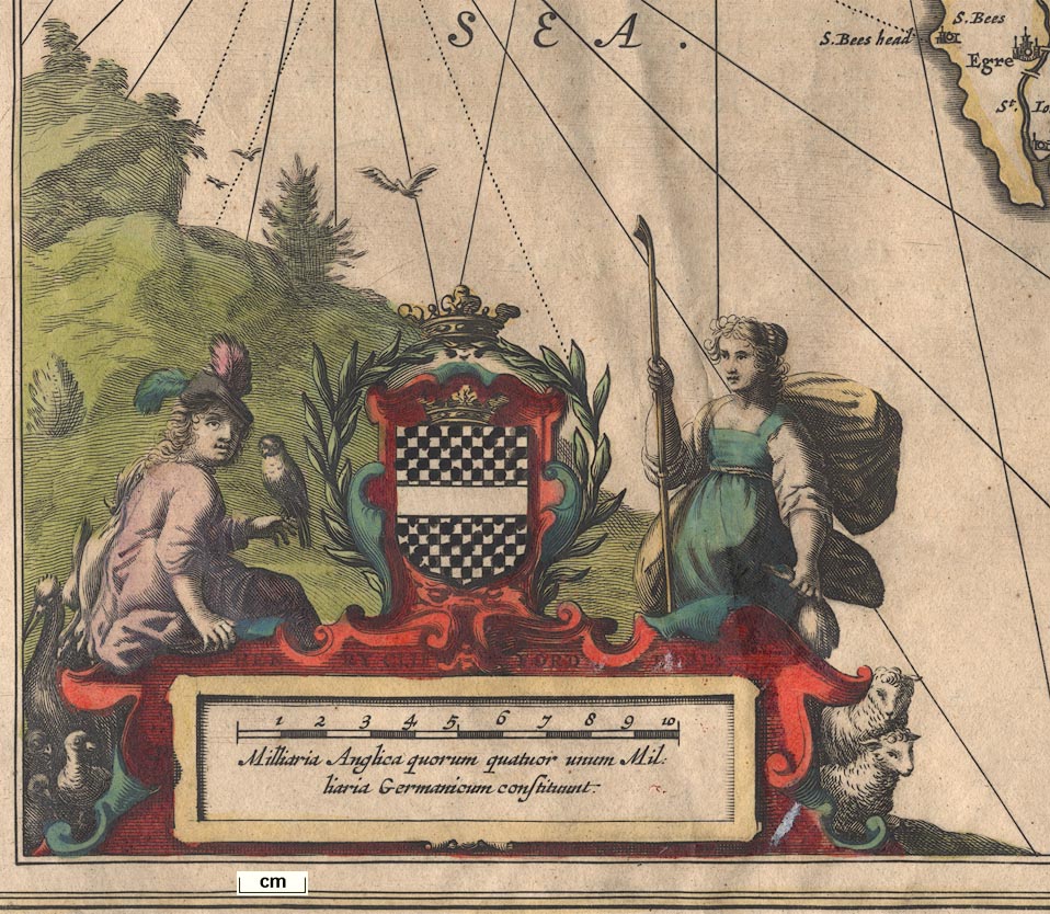
Map, Cumbria et Westmoria, or Cumberland and Westmorland, scale about 3.5 miles to 1 inch, by John Jansson, Amsterdam, Netherlands, 1646; published 1646-1724. (Jansson 1646)
Lakes Guides menu.
 Lakes Guides menu.