item:- Carlisle Library : Map 94
image:- © Carlisle Library
 HY02P2.jpg
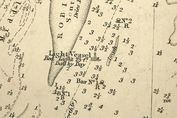
Chart, uncoloured engraving, England West Coast sheet XII, Firth
of Solway, scale about 1 inch to 1 mile, surveyed by C G
Robinson, 1837, engraved by J and C Walker, published by the
Hydrographic Office, The Admiralty, London, 1841-58.
 Lakes Guides menu.