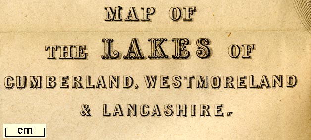
Map of the Lakes of Cumberland, Westmoreland and Lancashire, scale about 3.5 miles to 1 inch, and other maps, engraved by William Banks, Edinburgh, published by John Hudson, Kendal, Westmorland, 1853. (Hudson 1842 map)
Lakes Guides menu.
 Lakes Guides menu.