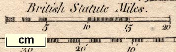
New Map of Cumberland and Westmoreland, scale about 12 miles to 1 inch, on a plate together with Northumberland, engraved by T Conder, published by Alexander Hogg, London, 1784; published 1784-94. (Hogg 1784)
Lakes Guides menu.
 Lakes Guides menu.