item:- JandMN : 233.1
image:- © see bottom of page
 HM04.jpg
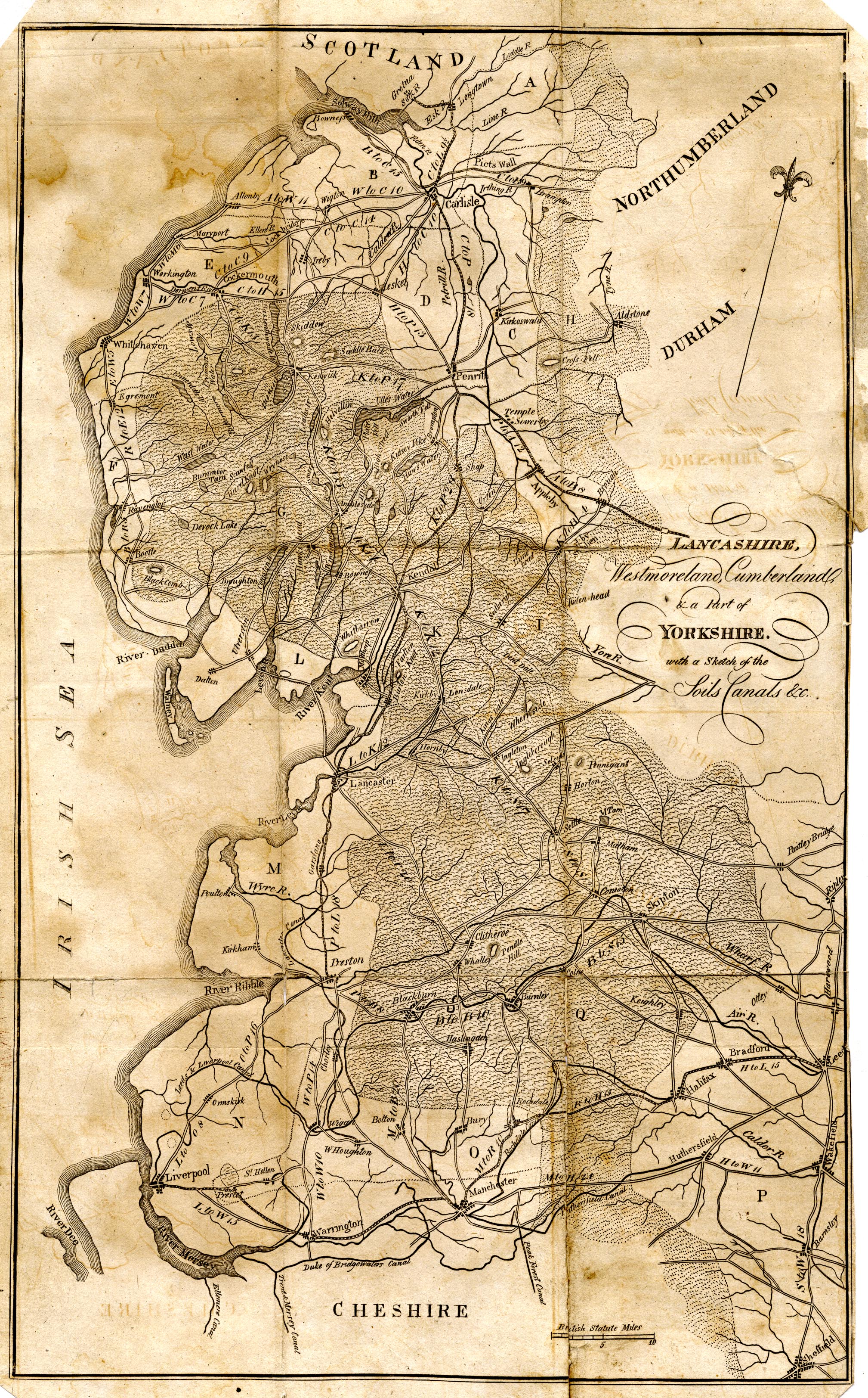
Map, uncoloured engraving, Lancashire, Westmoreland, Cumberland
and Part of Yorkshire, with a sketch of the Soils Canals etc.,
scale about 8.5 miles to 1 inch, published by F Jollie,
Carlisle, Cumberland, 1800.
 Lakes Guides menu.