item:- Carlisle Library : Map 76
image:- © Carlisle Library
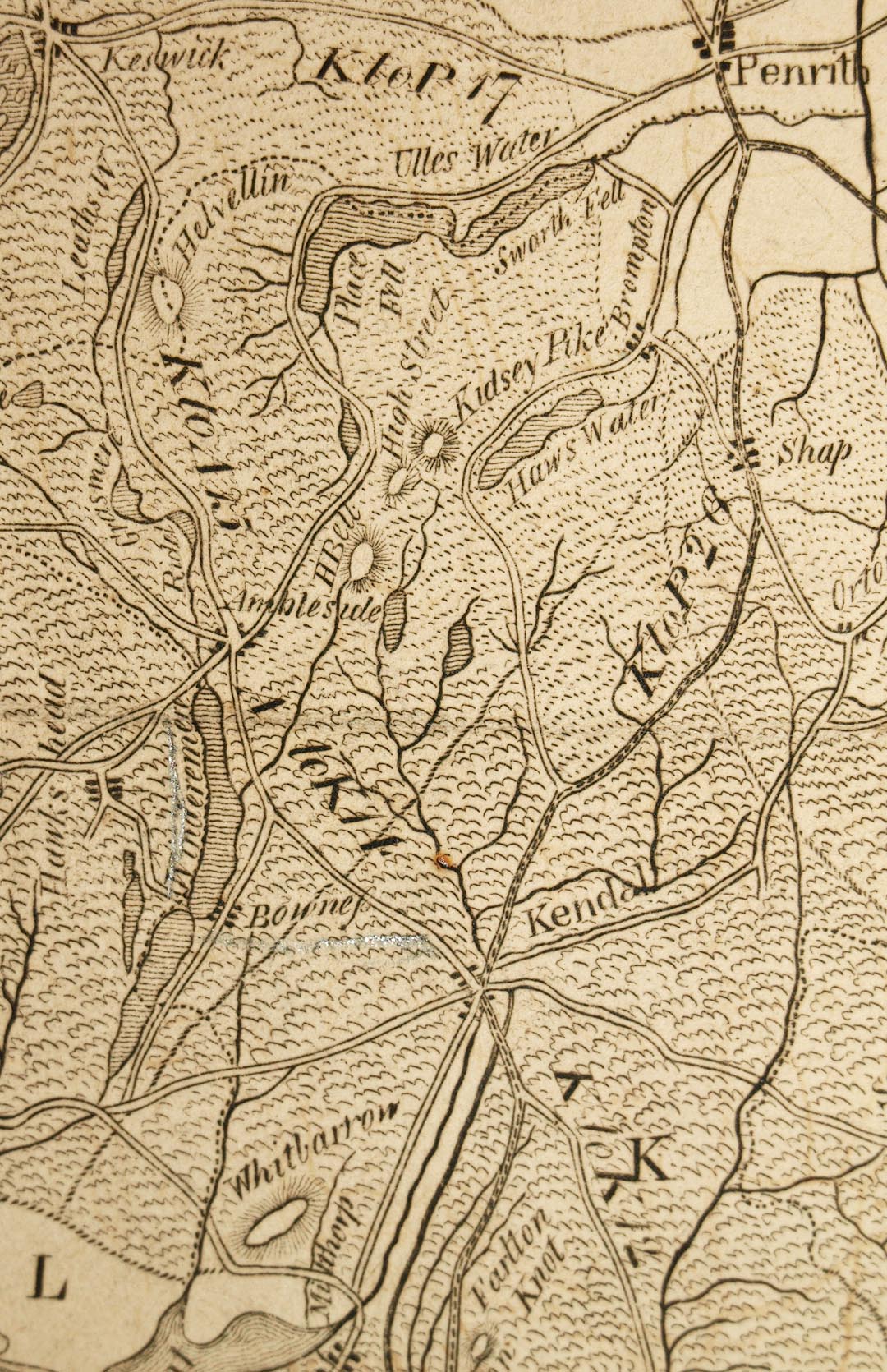 HM03P1.jpg
Map, uncoloured engraving, Lancashire, Westmoreland, Cumberland
and a Part of Yorkshire, with a Sketch of the Soils, Canals,
etc, scale about 8.5 miles to 1 inch, engraved by James Lowes,
published by F Jollie, Carlisle, Cumberland, and C Law, Ave Maria
Lane, London, 1800.
 Lakes Guides menu.