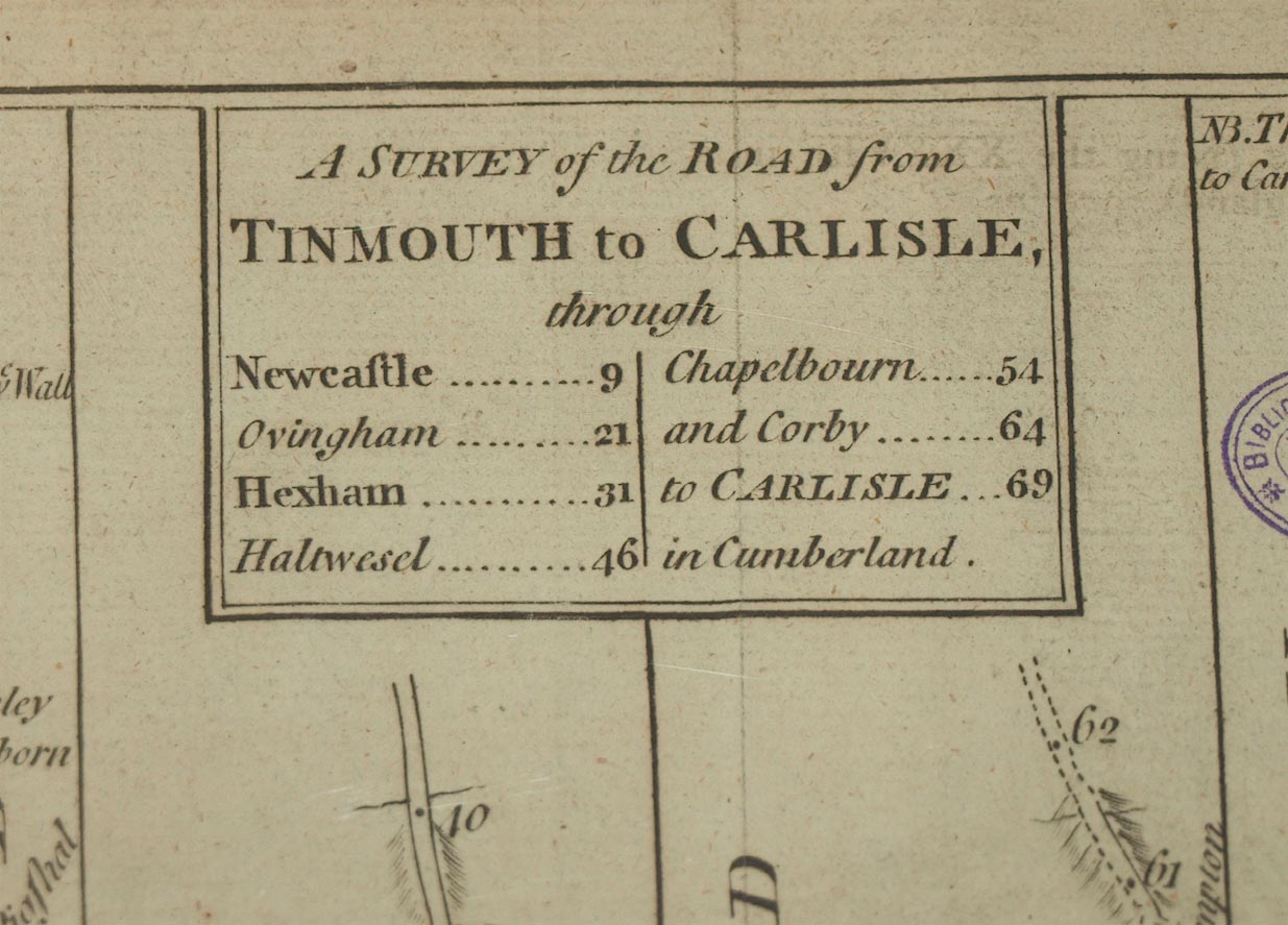
Road strip maps with sections in Westmorland, Cumberland
etc, scales about 2 -2.5 miles to 1 inch, derived from maps
by Ogilby, 1675 onwards, for the Universal Magazine,
published by John Hinton, St Paul's Churchyard, London,
1765-73. (Hinton 1765)
 Lakes Guides menu.