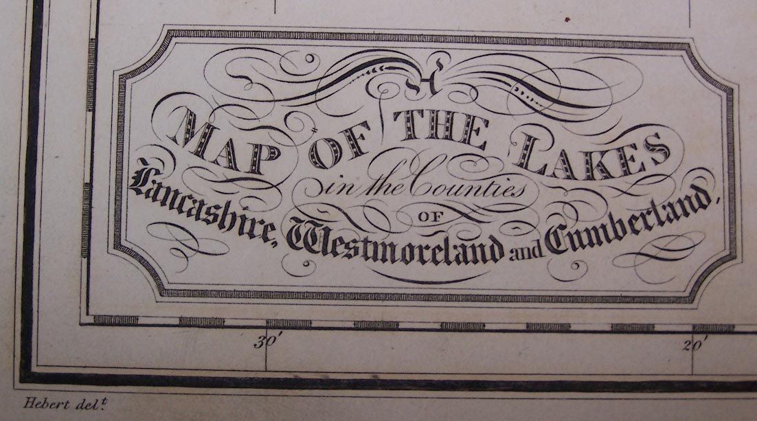
Map of the Lakes in the Counties of Lancashire, Westmoreland and Cumberland, scale about 3 miles to 1 inch, drawn by Hebert, engraved by H Mutlow, published by T Cadell, and W Davies, Strand, London, 1816. (Hebert 1816)
Lakes Guides menu.
 Lakes Guides menu.