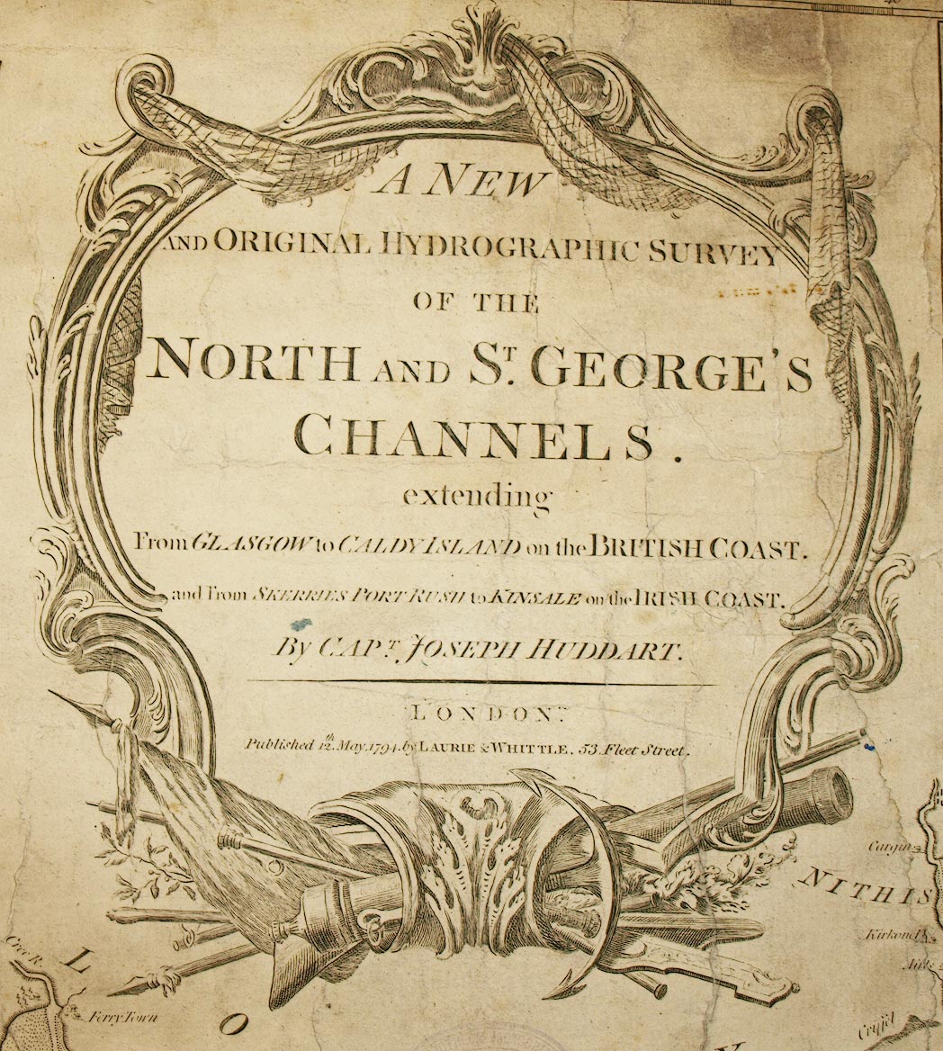
Chart, A New and Original Hydrographic Survey of the North and St George's Channels, scale about 4.5 miles to 1 inch, by Joseph Huddart, published by Laurie and Whittle, 53 Fleet Street, London, 1794. (Huddart 1794)
Lakes Guides menu.
 Lakes Guides menu.