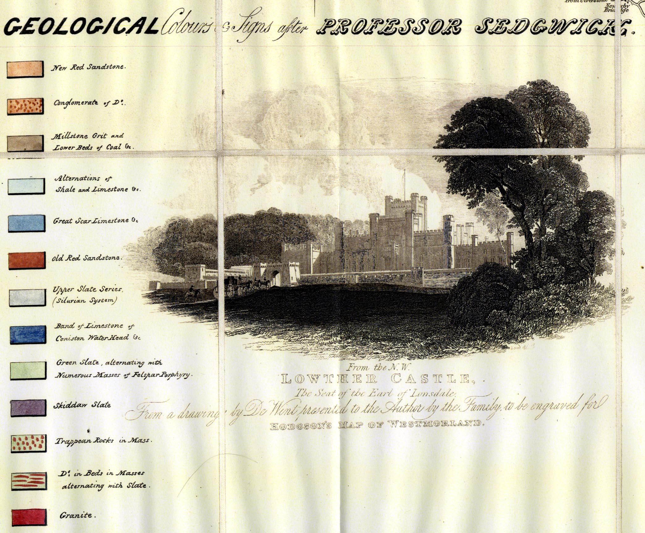
Geological map, 4 sheets, engraving, hand coloured to show
geology, Plan of the County of Westmorland, scale about 1
1/4 inches to 1 mile, surveyed 1823-25 by Thomas Hodgson,
engraved by W Gardner, Harpur Street, London, published by
Thomas Hodgson, Lancaster, Lancashire, 1828; geologically
coloured probably by Jonathan Otley, after 1835. (Otley
1830s)
You can open the stratigraphical column in a new
window to use with the map.
You have to close this new window by hand
 stratigraphical column.
Lakes Guides menu.