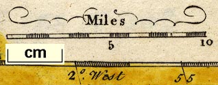
Maps, Correct Map of Westmorland, scale about 7 miles to 1 inch, and of Cumberland? possibly by Thomas Hutchinson, published by T Osborne et al, 1748; published 1748-50. (Hutchinson 1748)
Lakes Guides menu.
 Lakes Guides menu.