item:- Armitt Library : 2008.14.99
image:- © see bottom of page
 HAR3.jpg
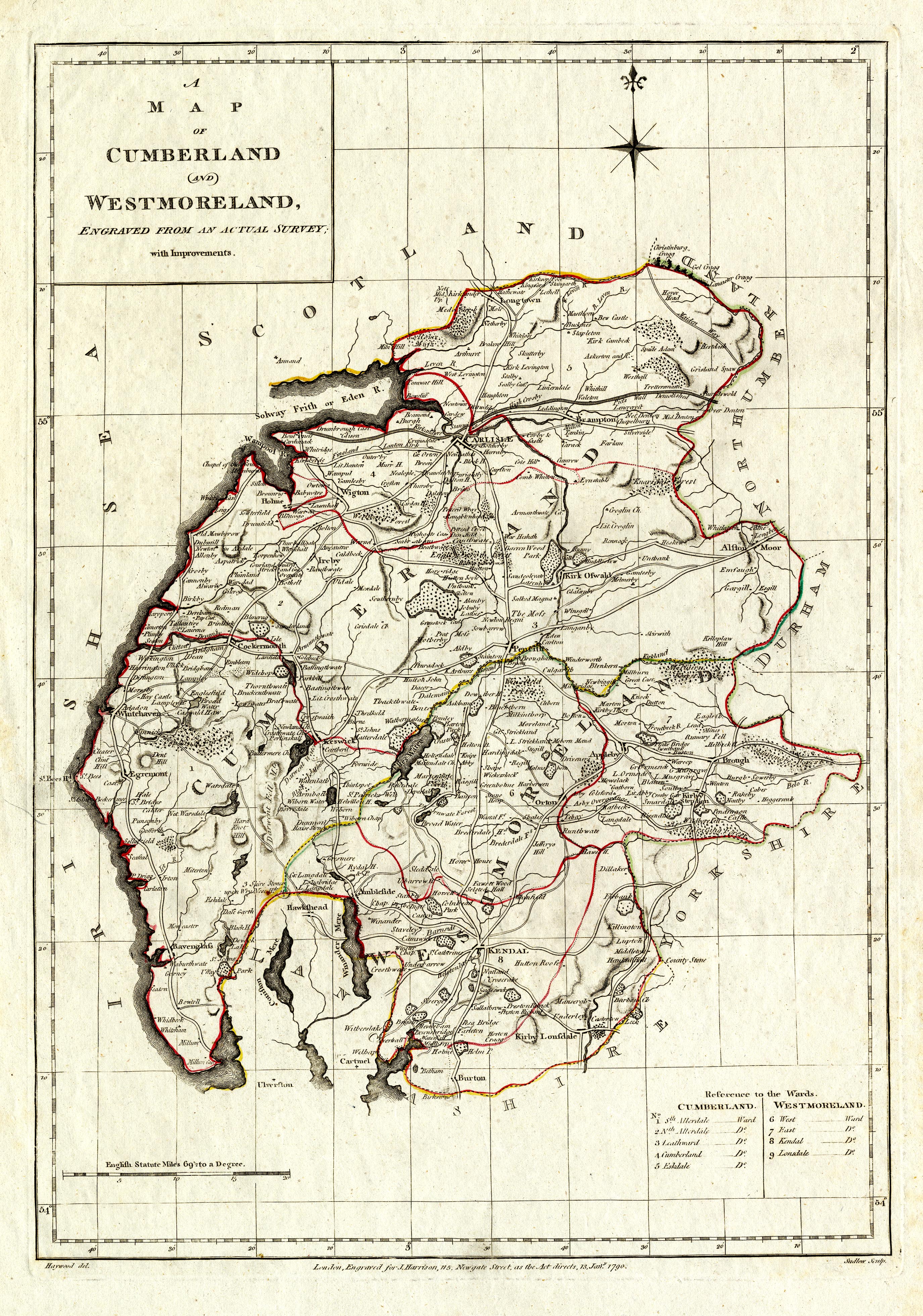
Map, hand coloured engraving, Cumberland and Westmoreland, scale
about 6 miles to 1 inch, drafted by Haywood, engraved by Sudlow,
1790, published by John Harrison, 115 Newgate Street, London,
1791-12.
 Lakes Guides menu.