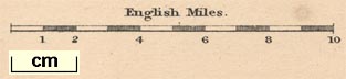
Maps, Westmoreland, scale about 5 miles to 1 inch, and Cumberland, scale about 8 miles to 1 inch, by Sidney Hall, London, published by Chapman and Hall, Strand, London, 1833; published 1833-80. (Hall 1833)
Lakes Guides menu.
 Lakes Guides menu.