item:- Carlisle Library : Map 199
image:- © Carlisle Library
 HA2102.jpg
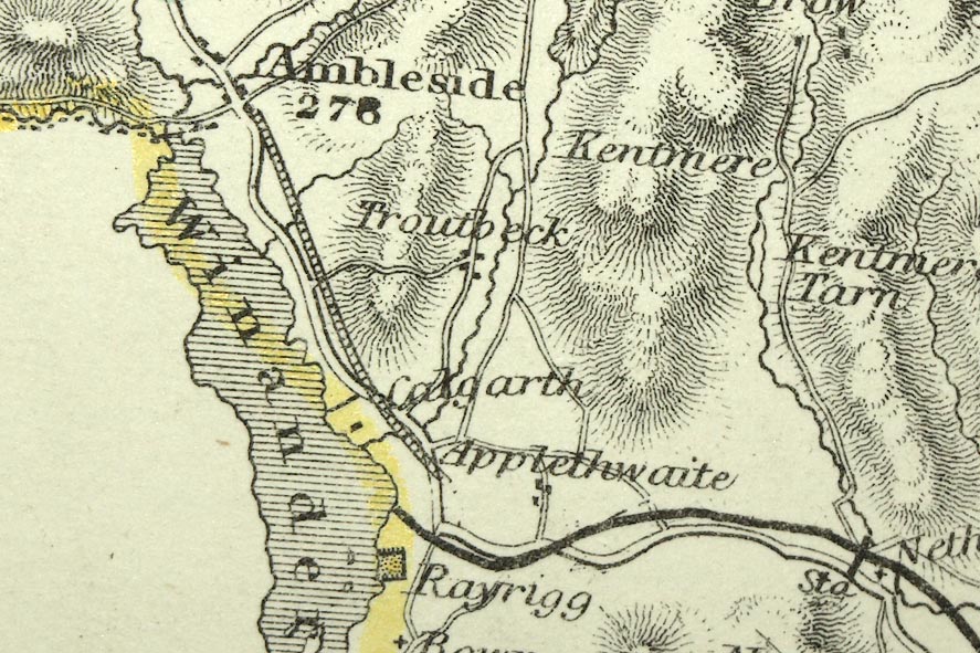
Map, hand coloured engraving, Westmoreland ie Westmorland, scale
about 5.5 miles to 1 inch, by Sidney Hall, published by Chapman
and Hall, 186 Strand, London, 1833, edition in 1860s or later.
 Lakes Guides menu.