item:- Armitt Library : A1824
image:- © see bottom of page
 GRW6C.jpg
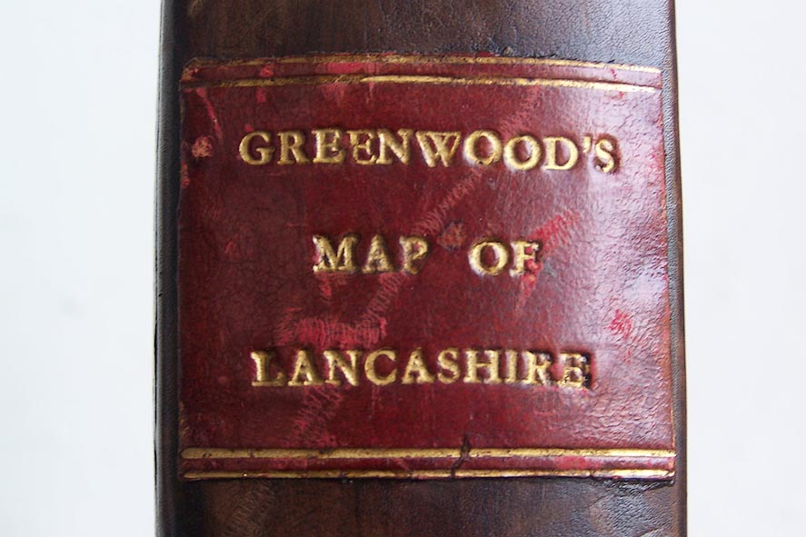
Map of the County Palatine of Lancashire, scale about 1 inch to
1 mile, surveyed by C Greenwood, drawn by R Creighton, engraved
by S Neele and Son, published by W Fowler and C Greenwood,
Wakefield, Yorkshire and Leicester Square, London, 1818.
 Lakes Guides menu.