item:- Armitt Library : A1827
image:- © see bottom of page
 GRW5.jpg
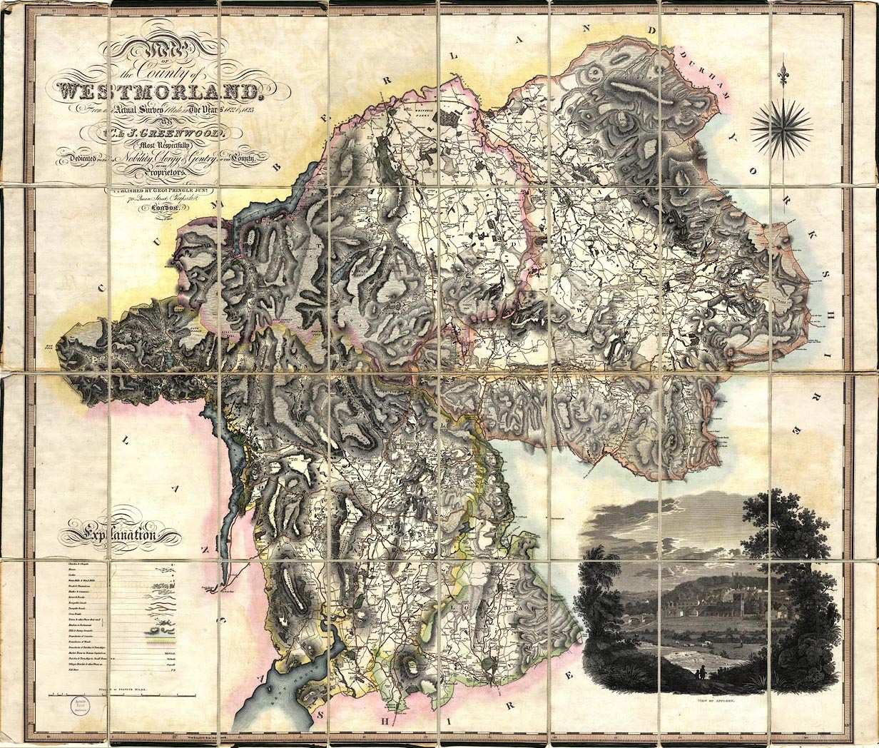
Map, hand coloured engraving, Map of the County of Westmorland,
scale about 1 inch to 1 mile, by C and J Greenwood, published by
George Pringle jnr, 70 Queen Street, Cheapside, London, 1824.
 Lakes Guides menu.