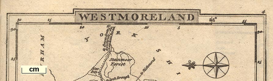
Maps, Westmoreland, scale about 12 miles to 1 inch, and
Cumberland, scale about 15.5 miles to 1 inch, Lancashire,
scale about 18 miles to 1 inch, and The Lakes, scale about
8.5 miles to 1 inch, by George Alexander Cooke, London,
1802-10; published 1802-24. (Cooke 1802)
 Lakes Guides menu.