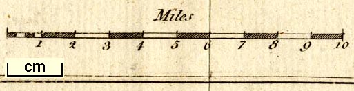
Canal map, Plan of the Proposed Navigable Canal ... to Kendal, scale about 4 miles to 1 inch, by Robert Whitworth, published by the Gentleman's Magazine, 1772. (Whitworth 1772)
Lakes Guides menu.
 Lakes Guides menu.