item:- Carlisle Library : Map 74
image:- © Carlisle Library
 GGN1P1.jpg
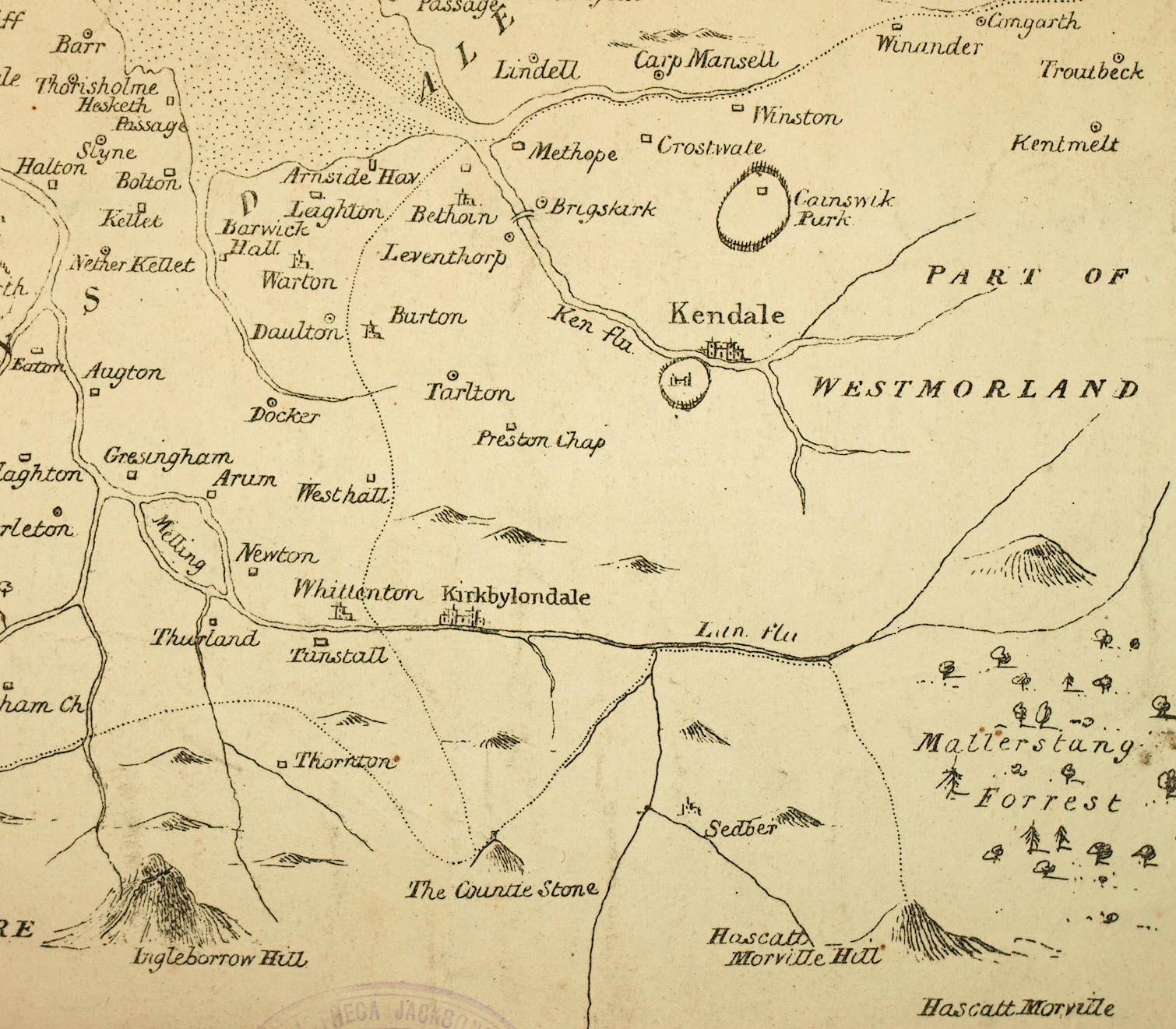
Map, uncoloured lithograph, Lancashire 1598, scale about 3 miles
to 1 inch, copied from British Library, Harleian MSS 6159, by
Matthew Gregson, engraved by James Wyld, 1821, published 1824.
 Lakes Guides menu.