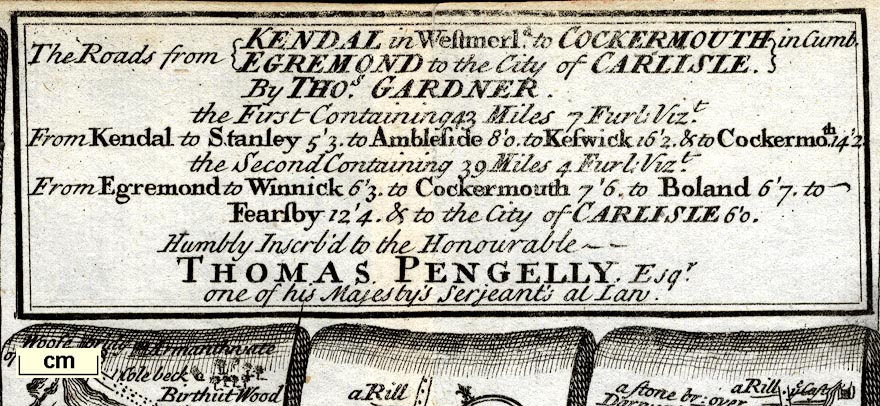
Road strip maps with sections in Westmorland and Cumberland
etc, scales about 2 miles to 1 inch, reduced from maps by
Ogilby, 1675, by Thomas Gardner, published by J Tonson,
Strand and by J Watts, Wild Court, London, 1719. (Gardner
1719)
 Lakes Guides menu.