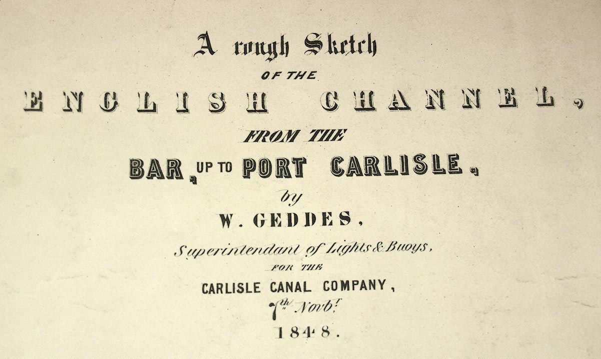
Chart, Sketch of the English Channel from the Bar up to Port Carlisle, in the Solway Firth, scale about 2 ins to 1 mile, by W Geddes, 1848. (Geddes 1848)
Lakes Guides menu.
 Lakes Guides menu.