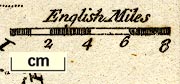
Maps, Westmoreland, scale about 10.5 miles to 1 inch, and Cumberland? by John Gibson, published by J Newberry, St Paul's Churchyard, London, 1759; published 1759-1779. (Gibson 1759)
Lakes Guides menu.
 Lakes Guides menu.