 Garnett 1850s-60s G

|

|
|

|
back to object record | |
| Garnett 1850s-60s, Longsleddale | ||
|
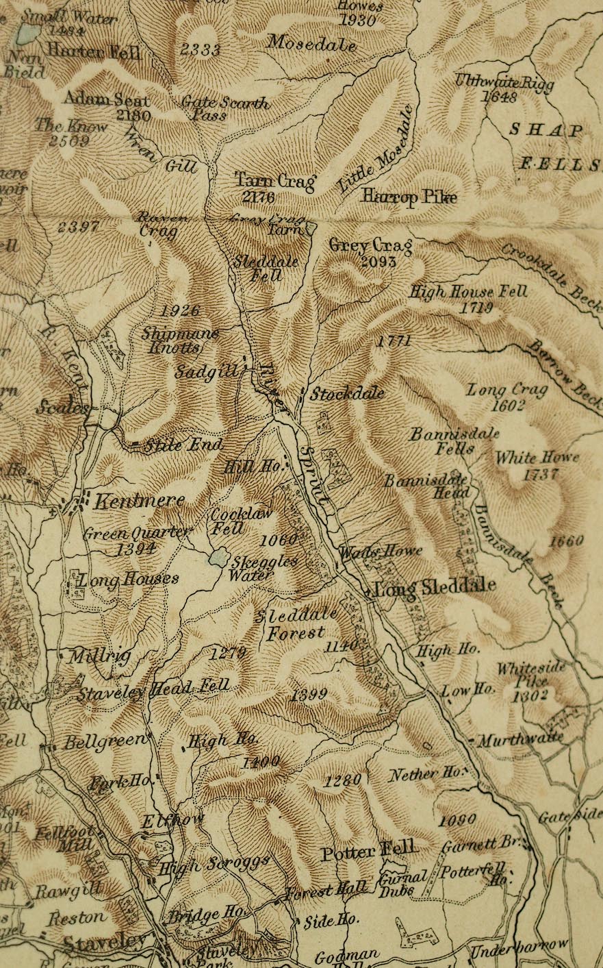
Notes about Longsleddale from Garnett's Map of the Lake
District of Westmorland and North Lancashire, scale about 2
miles to 1 inch, by John Bartholomew, Edinburgh, published
by J Garnett, Windermere, Westmorland, and by Simpkin,
Marshall and Co, London, 1850s-60s.
|
||
|
||
|
|
||
| scale |
The map scale is about:-
1 to 140000 ? (1 to 135050 from scale line, assuming a statute mile) 2 miles to 1 inch |
|
|
Places identified:-
|
||
Lakes Guides menu.