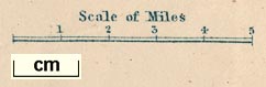
Map of the English Lakes, in Cumberland, Westmorland and Lancashire, scale about 3.5 miles to 1 inch, published by John Garnett, Windermere, Westmorland, 1850s-60s. (Garnett 1850s-60s H)
Lakes Guides menu.
 Lakes Guides menu.