item:-
JandMN : 82.1
image:-
©
see bottom of page
GAR2.jpg
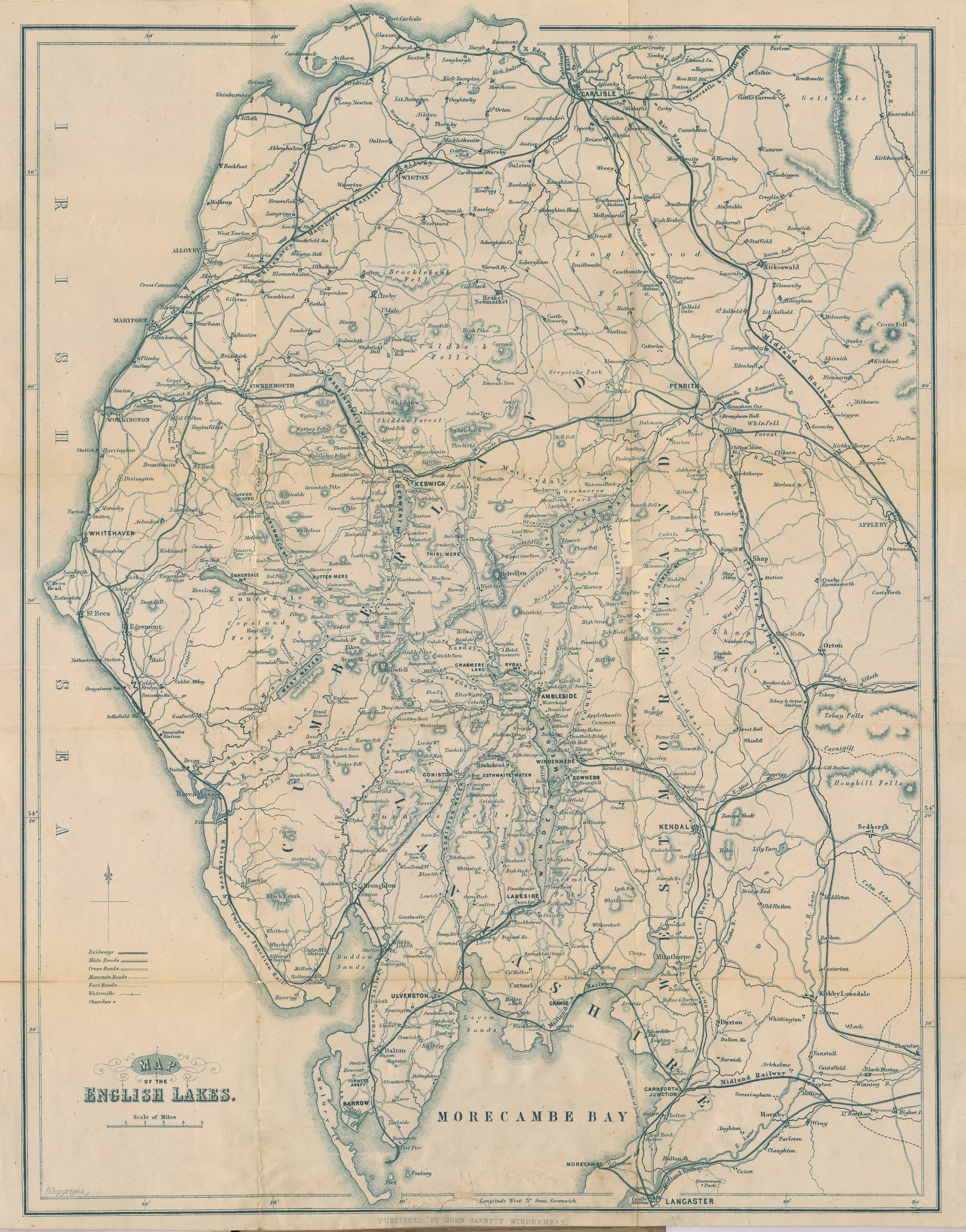
Map of the English Lakes, in Cumberland, Westmorland and Lancashire, scale about 3.5 miles to 1 inch, published by John Garnett, Windermere, Westmorland, 1850s-60s.
Lakes Guides menu.
 Lakes Guides menu.