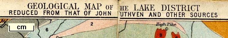
Geological Map of the Lake District, scale about 6 miles to
1 inch, reduced from John Ruthven's map etc, by J
Bartholomew, Edinburgh, published by John Garnett,
Windermere, Westmorland, and by Simpkin, Marshall and Co,
London, 1865. (Garnett 1850s-60s K)
 Lakes Guides menu.