item:-
JandMN : 15
image:-
©
see bottom of page
Fsh2.jpg
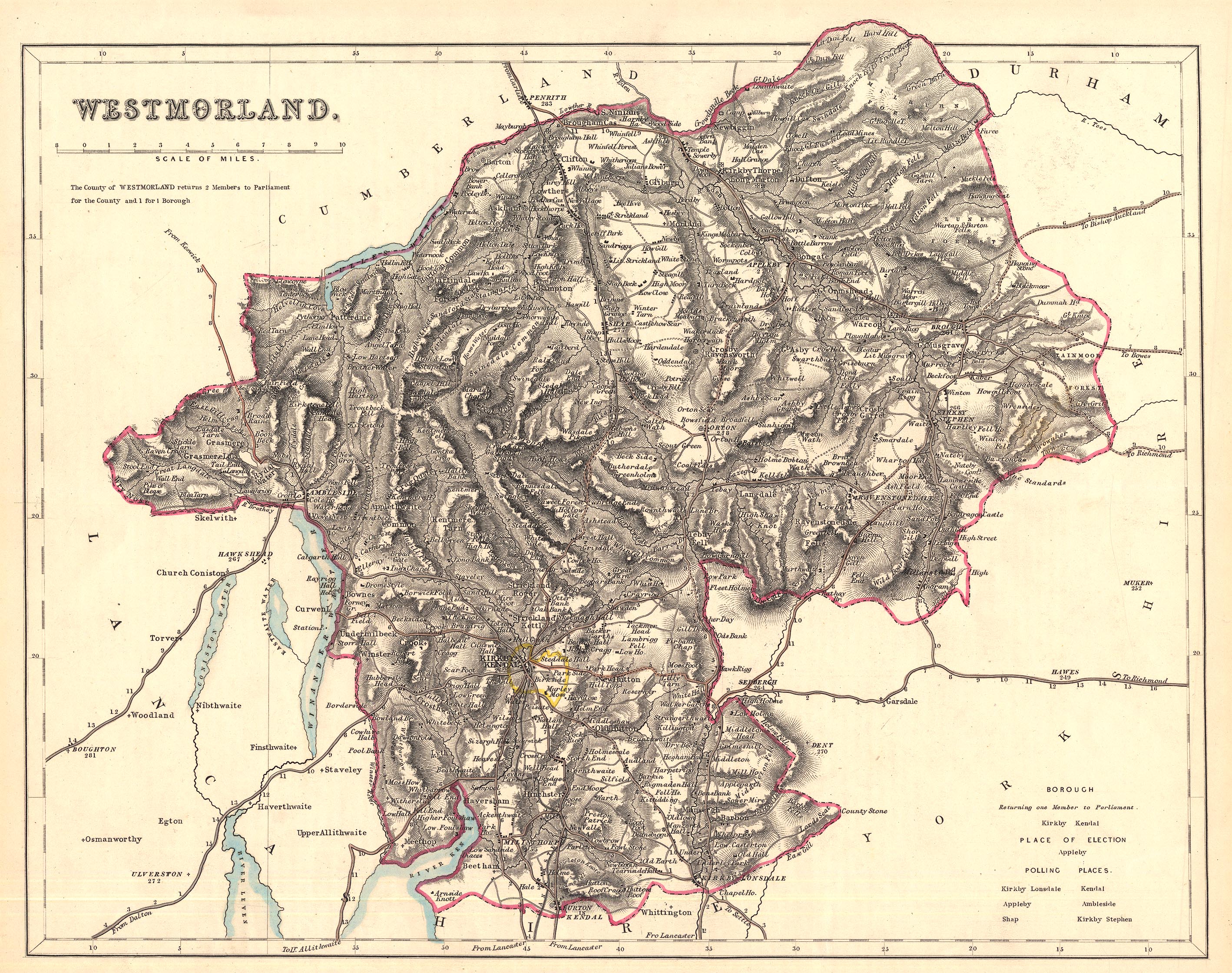
Map, hand coloured? Westmorland, scale about 3.5 miles to 1 inch, published by Fisher, Son and Co, Caxton Press, Angel Street, St Martin's le Grand, London, about 1845.
Lakes Guides menu.
 Lakes Guides menu.