item:- private collection : 130.5
image:- © see bottom of page
 FG01M4.jpg
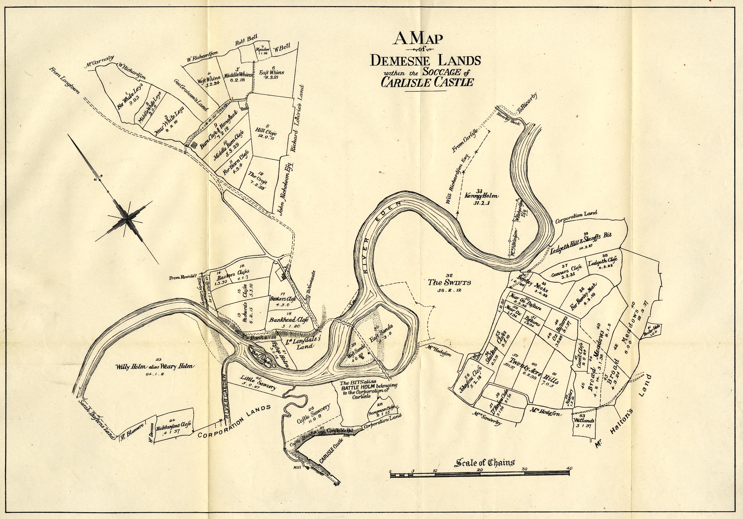
Map, estate plan, lithograph, reproduction of A Map of Demesne
Lands within the Soccage of Carlisle Castle, Cumberland, early
19th century, reproduction scale about 7.5 inches to 1 mile,
published by Charles Thurnam and Sons, Carlisle, Cumberland,
Titus Wilson, Kendal, Westmorland, and Elliot Stock, London,
1894.
 Lakes Guides menu.