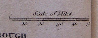
Map, The Great Roads of England and Wales, connecting the
watering places, scale about 61 miles to 1 inch, included in
A Guide to all the Watering and Sea Bathing Places, by John
Feltham, published by Richard Phillips, 71 St Paul's
Chuchyard, London, 1st edn 1803. (Feltham 1803 map 1)
 Lakes Guides menu.


 Lakes Guides menu.