item:- Carlisle Library : Map 85
image:- © Carlisle Library
 FD12P1.jpg
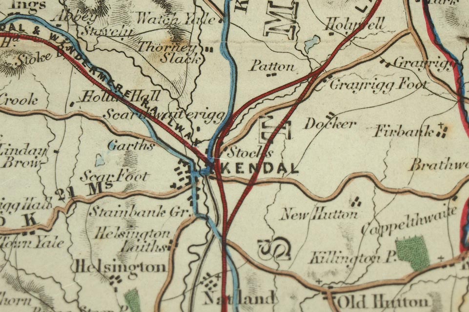
Map, hand coloured engraving, Map of the Lake District of
Cumberland, Westmoreland and Lancashire, scale about 3.5 miles
to 1 inch, published by Charles Thurnam, Carlisle, Cumberland,
from 1839, edn about 1847?
 Lakes Guides menu.