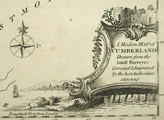
Maps, A Modern Map of Westmoreland, scale about 6 miles to 1 inch, and of Cumberland, by John Ellis, London, 1765, published by Carington Bowles, St Pauls Churchyard, and Robert Sayer, Fleet Street, London, 1766. (Ellis 1765)
Lakes Guides menu.
 Lakes Guides menu.