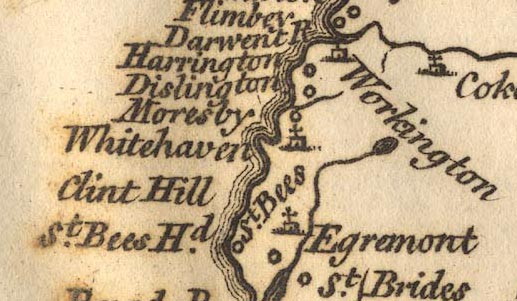
Map and chart of the coast of England on the Irish Sea, part
of Lancashire, Cumberland, and the coast of Scotland,
showing the Isle of Man, scale about 22 miles to 1 inch,
perhaps by John Rocque, published by Andrew Dury, Dukes
Court, London, 1764. (Dury 1764)
 Lakes Guides menu.