item:- JandMN : 168
image:- © see bottom of page
 DRY5.jpg
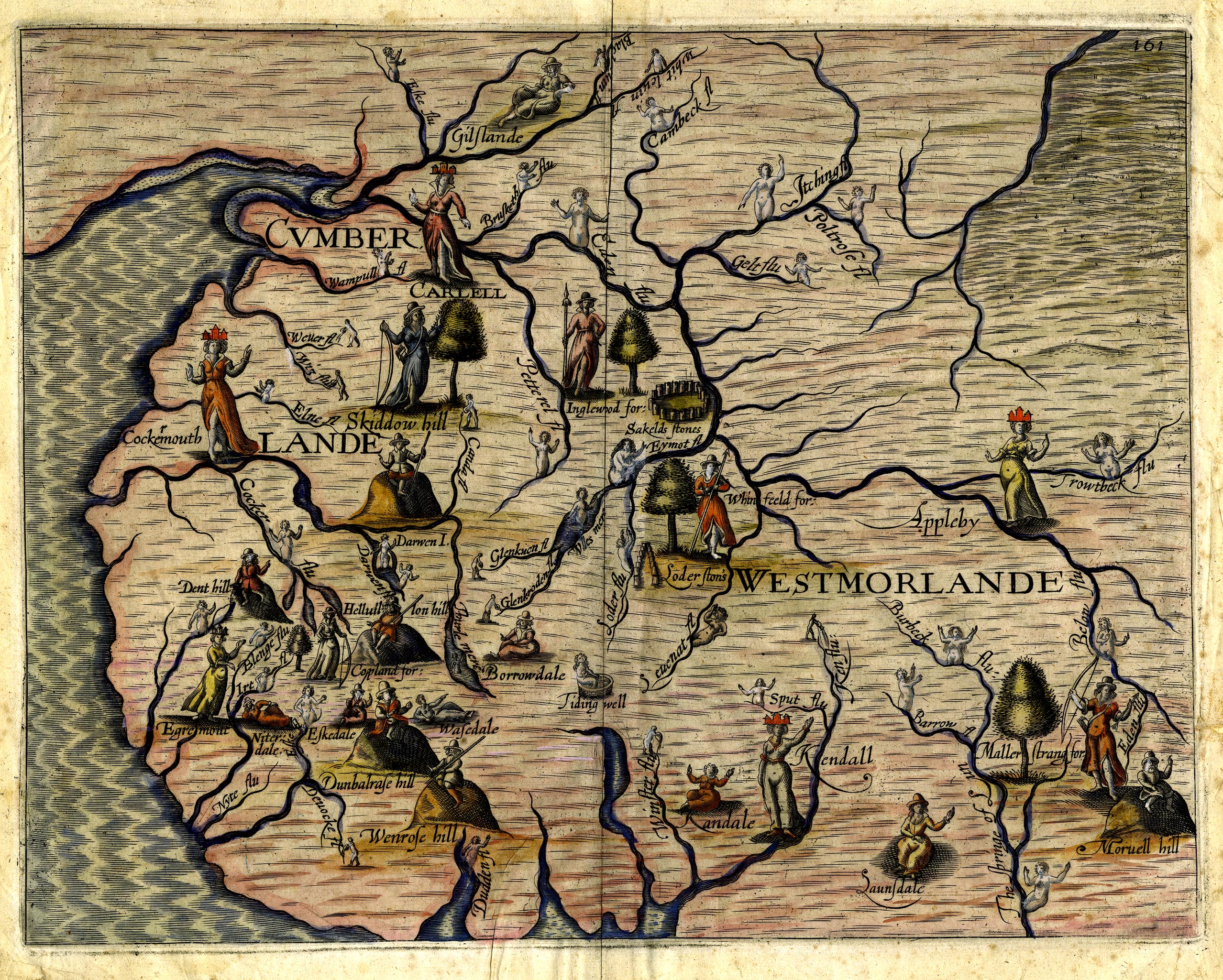
Map, hand coloured engraving, Cumberlande and Westmorlande, by
Michael Drayton, probably engraved by William Hole, scale about
4 or 5 miles to 1 inch, published by John Mariott, John
Grismand, and Thomas Dewe, London, 1622.
 Lakes Guides menu.