item:- Carlisle Library : Map 112
image:- © Carlisle Library
 DAW5P1.jpg
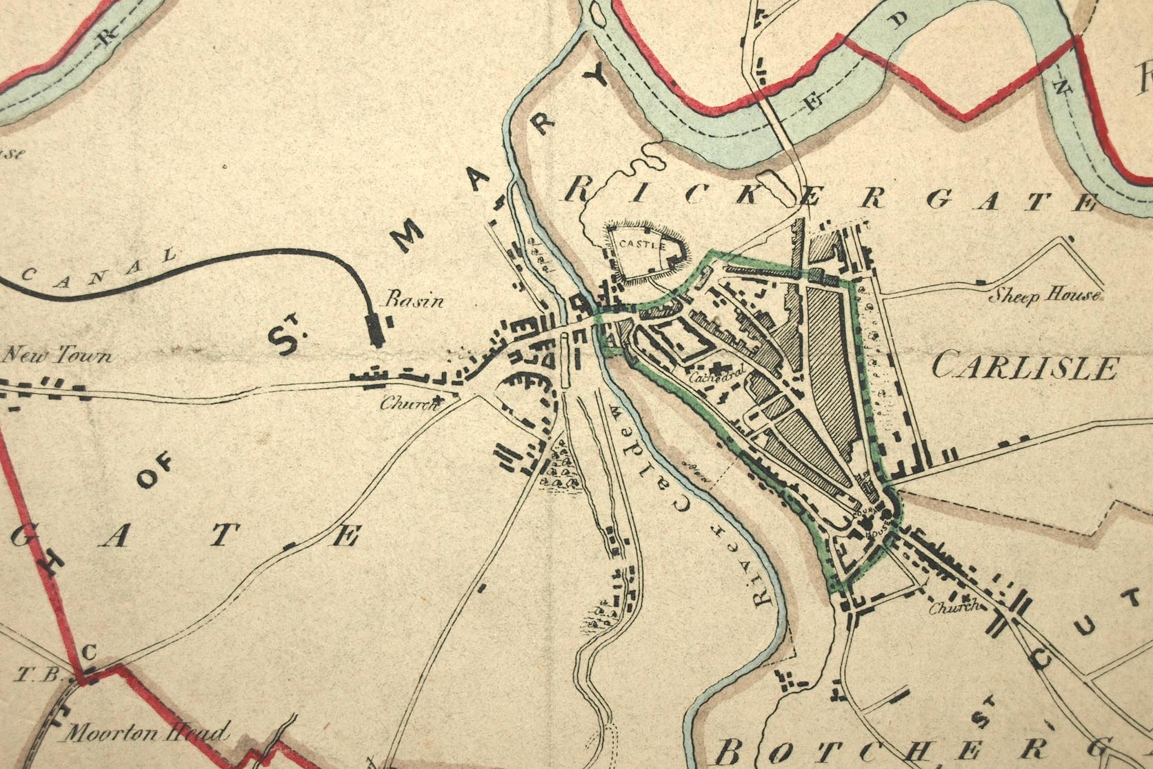
Map, hand coloured lithograph, Carlisle, proposed new boundary,
scale about 3 inches to 1 mile, by Captain Robert K Dawson,
lithographed by Josiah Nethercliff, 54 Leicester Square, London,
about 1832.
 Lakes Guides menu.