item:- JandMN : 213
image:- © see bottom of page
 Daw4.jpg
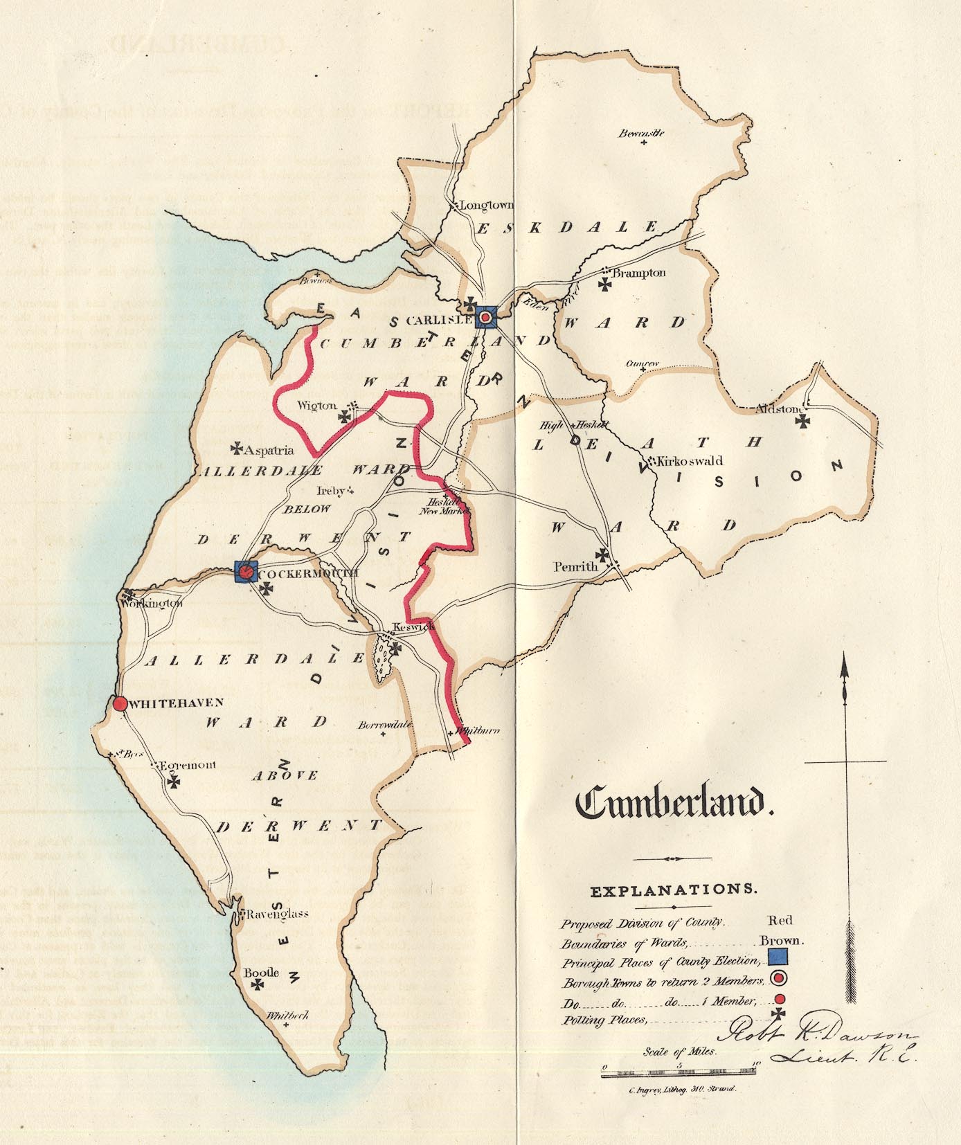
Map, hand coloured lithograph, Cumberland, scale about 6.5 miles
to 1 inch, showing the proposed parliamentary divisions, made
for the Reform Bill 1832, by Lieut Robert K Dawson RE, 1831,
perhaps copied 1937?
 Lakes Guides menu.