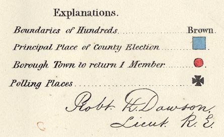
Political maps, Westmoreland, scale about 4 miles to 1 inch,
and Cumberland, scale about 7.5 miles to 1 inch, showing the
proposed parliamentary divisions, and town maps Carlisle,
Kendal, Cockermouth, Whitehaven, Workington, at larger
scales, made for the Reform Bill 1832, by Lieut Robert K
Dawson RE, 1831. (Dawson 1830s)
 Lakes Guides menu.