item:-
JandMN : 317
image:-
©
see bottom of page
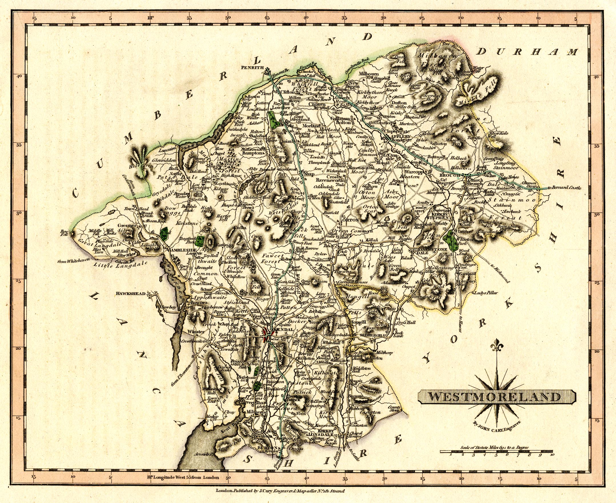
CY39.jpg
Map, hand coloured engraving, Westmoreland, scale about 5 miles to 1 inch, by John Cary, 181 Strand, London, 1809 or later edition.
Lakes Guides menu.
 Lakes Guides menu.