 Cary 1824

|

|
|

|
back to object record | |
| Cary 1824, Longsleddale | ||
|
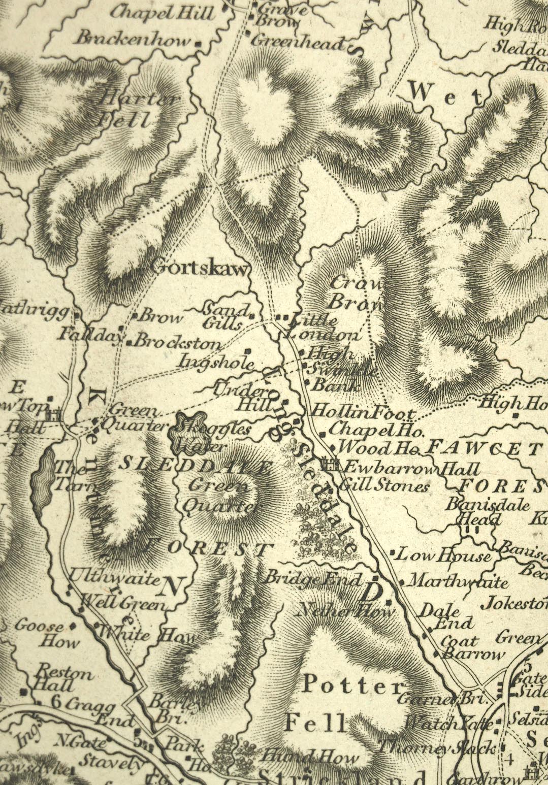
Notes about Longsleddale from the New Map of Westmoreland,
1824, scale about 2.5 miles to 1 inch, published by John
Cary, 86 St James's Street, London, 1829.
|
||
|
||
|
|
||
| scale |
The map scale is about:-
1 to 150000 ? (1 to 153454 from scale line, assuming a statute mile) 2.5 miles to 1 inch |
|
|
Places identified:-
|
||
|
The map was earlier used by John Cary for the geological map
coloured by William Smith: some engraved details of this use
remain. Notice the dotted boundary lines crossing
Longsleddale north of Skeggles Water, through Swinklebank
and over Ancrow Brow. Although their position might not be
right, they represent the geological boundaries of the
Coniston Limestone Series running across the valley, with
the Borrodale Volcanic Series to the north, and Brathay
Flags to the south.
|
||
Lakes Guides menu.