item:-
Armitt Library : 2008.14.128
image:-
©
see bottom of page
CY36.jpg
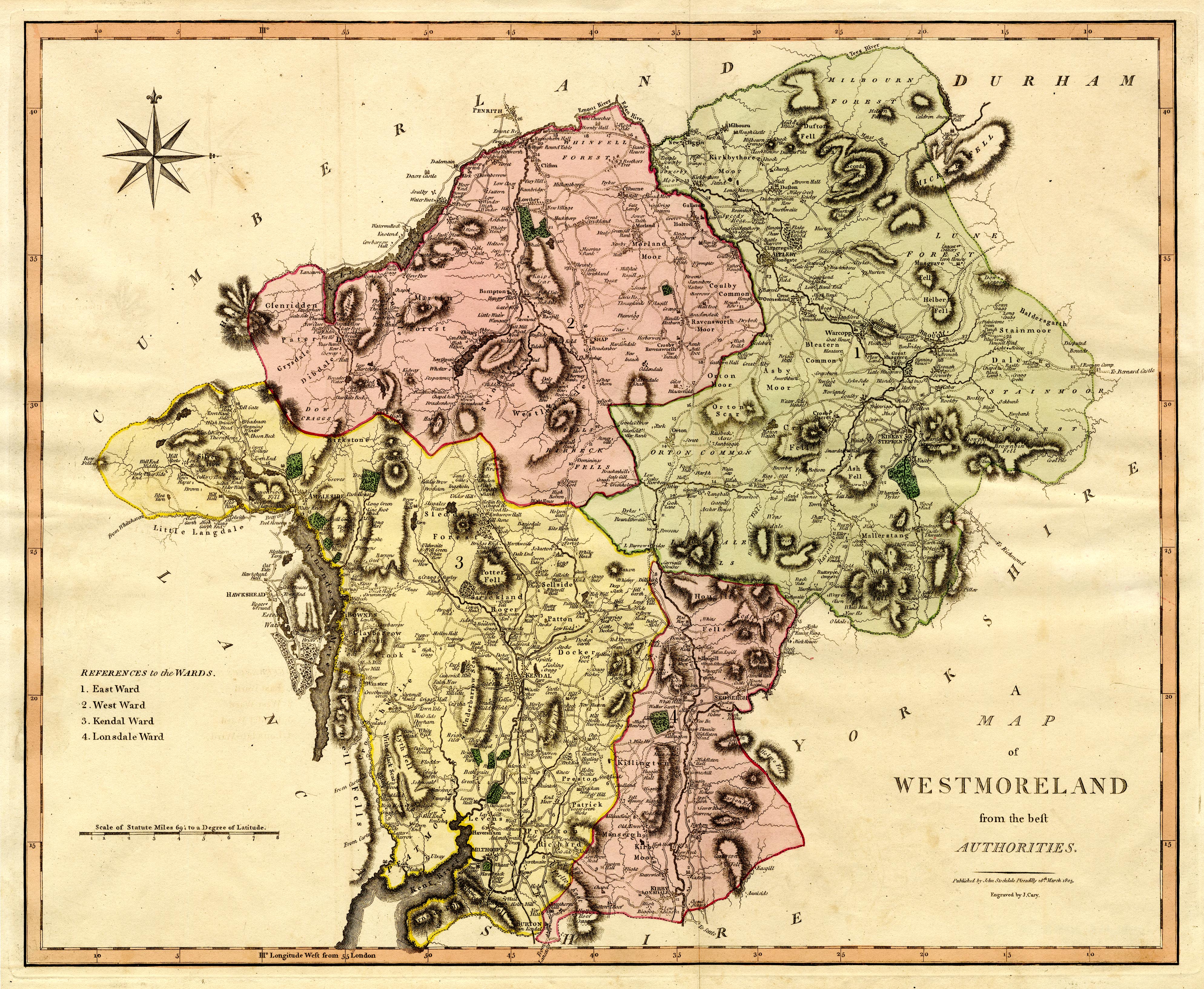
Map, hand coloured engraving, Westmoreland, scale about 2.5 miles to 1 inch, by John Cary, London, 1789.
Lakes Guides menu.
 CY36.jpg
 Lakes Guides menu.