item:- Armitt Library : 2008.14.56
image:- © see bottom of page
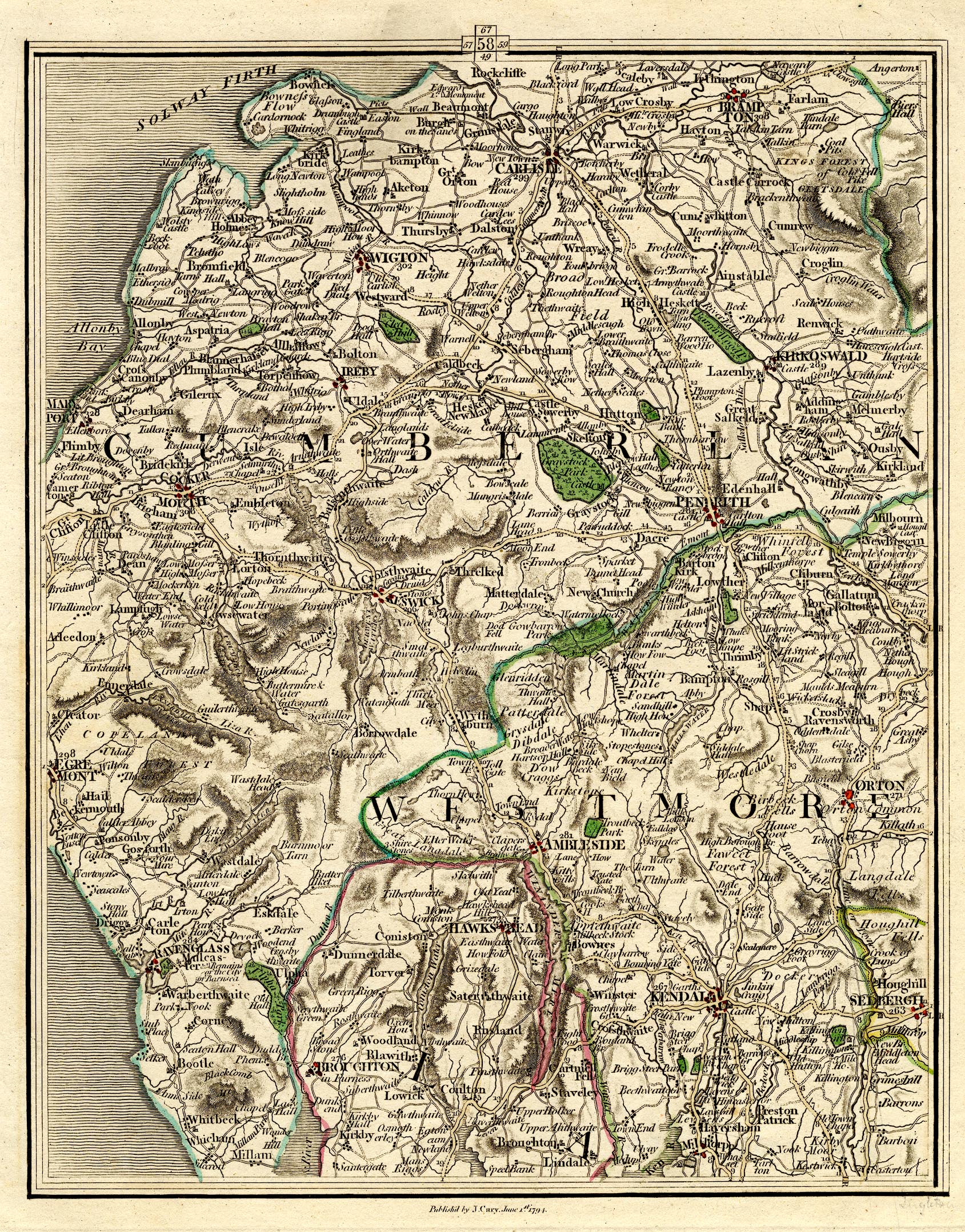 CY34.jpg
Map, hand coloured engaving, plate 58 of a New Map of England
and Wales, parts of Lancashire, and of Westmorland and
Cumberland, scale about 5 miles to 1 inch, by John Cary, 181
Strand, London, 1794.
 Lakes Guides menu.