item:-
JandMN : 129
image:-
©
see bottom of page
CY24.jpg
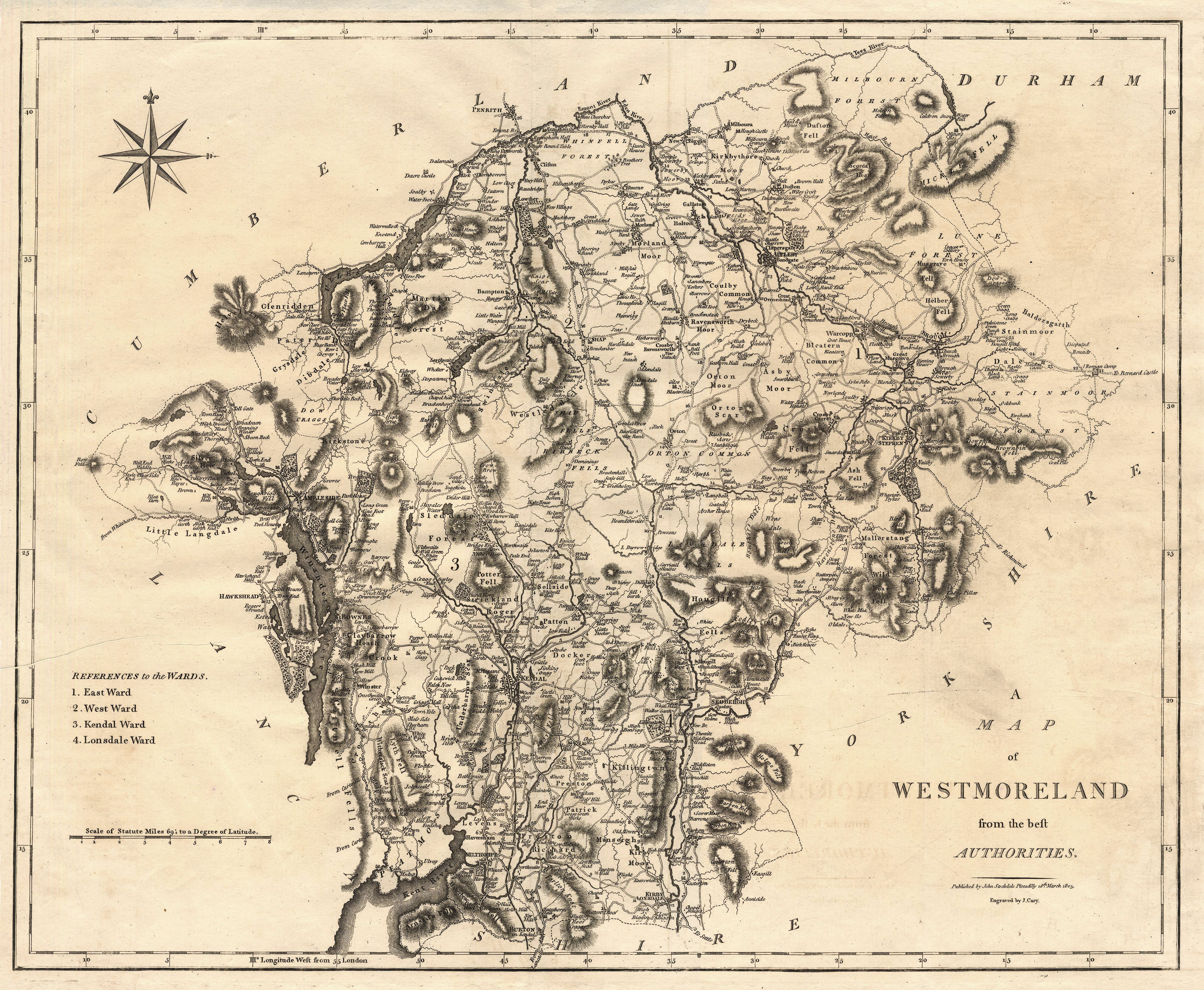
Map, uncoloured engraving, Westmoreland, scale about 2.5 miles to 1 inch, by John Cary, London, 1789; edition 1805.
Lakes Guides menu.
 CY24.jpg
 Lakes Guides menu.