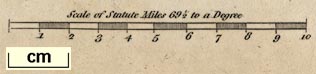
Maps, Westmoreland, scale about 5 miles to 1 inch, and
Cumberland, scale about 6.5 miles to 1 inch, in Cary's New
and Correct English Atlas, by John Cary, 188 Strand, London,
1787; published as one part of a monthly series, 1787-89;
published 1787-93; and re-engraved from 1809. (Cary 1787)
 Lakes Guides menu.