item:- JandMN : 190.2
image:- © see bottom of page
 CV1M2.jpg
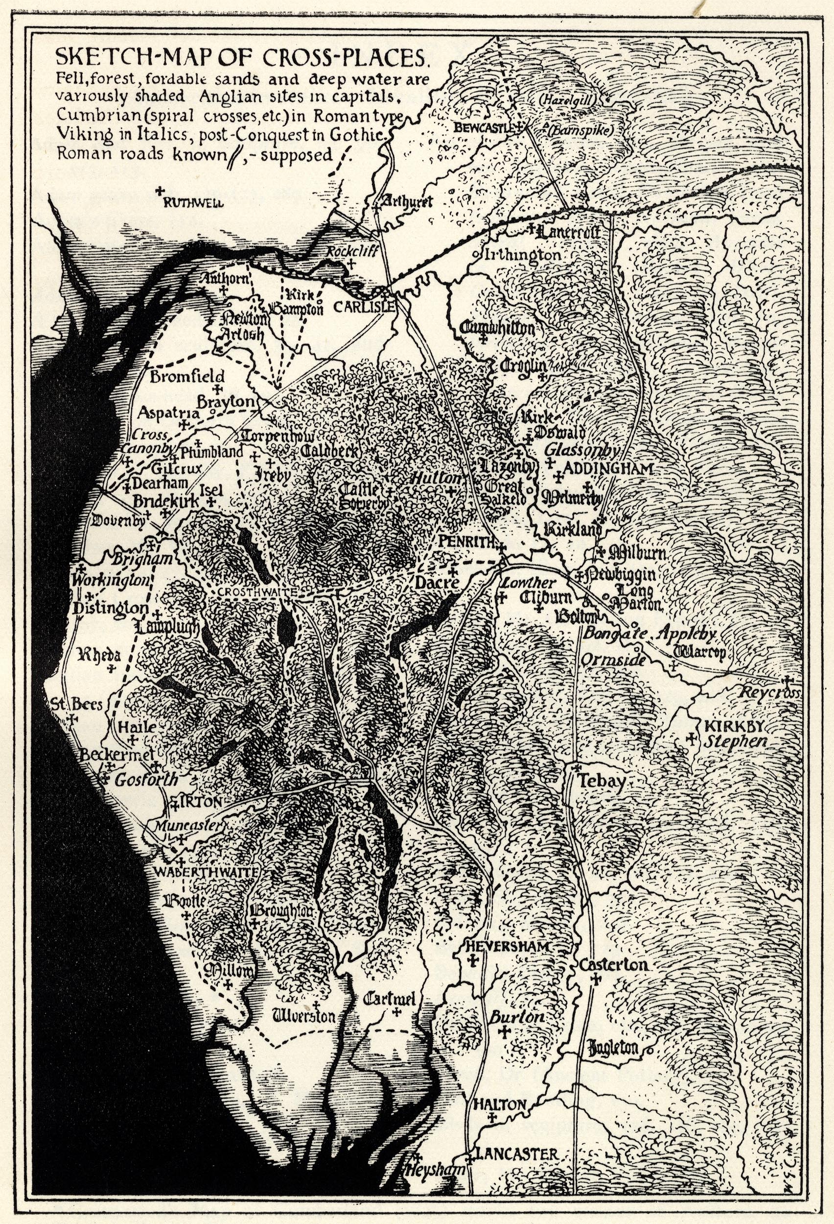
Map, uncoloured lithograph? Sketch Map of Cross Places, scale
roughly 13.5 miles to 1 inch, by W G Collingwood, published for
the Cumberland and Westmorland Antiquarian and Archaeological
Society, by Titus Wilson, Kendal, Westmorland, 1899.
 Lakes Guides menu.