item:- private collection : 202.1
image:- © see bottom of page
 CS02.jpg
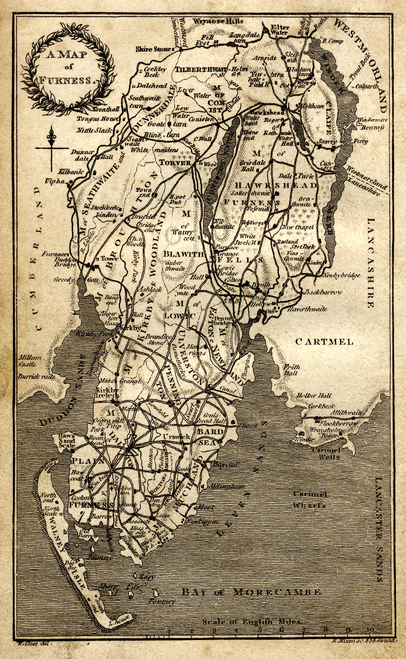
Map, uncoloured engraving, A Map of Furness, Lancashire, scale
about 4 miles to 1 inch, by William Close, engraved by R Hixon,
355 Strand, London, published 1805.
 Lakes Guides menu.