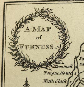
A Map of Furness, Lancashire, scale about 4 miles to 1 inch, drawn by William Close, engraved by R Hixon, Strand, London, published by George Ashburner, Ulverston, Lancashire, 1805. (Close 1805)
Lakes Guides menu.
 Lakes Guides menu.