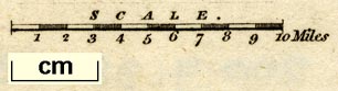
Maps, Westmoreland, scale about 6 miles to 1 inch, and
Cumberland, scale about 8 miles to 1 inch, by G Cole, and
other counties, engraved by J Roper, published by Vernor,
Hood and Sharpe, Poultry, London, 1805; published 1805-58.
(Cole and Roper 1805)
 Lakes Guides menu.