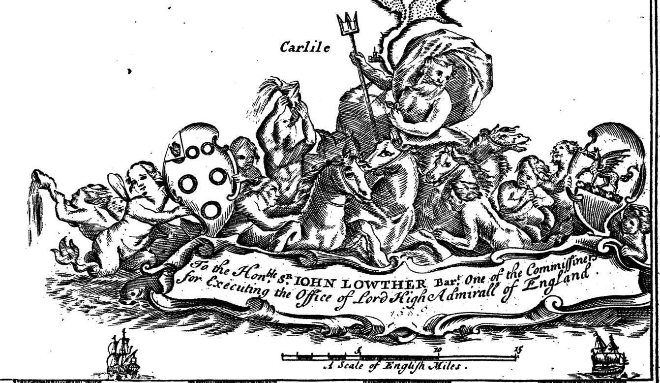
Chart, of the Irish Sea, including the coast of Cumbria - Lancashire and Cumberland, scale about 6.5 miles to 1 inch, by Captain Greenvile Collins, published 1693; published up to 1753 at least. (Collins 1693)
Lakes Guides menu.
 Lakes Guides menu.