item:-
Armitt Library : 2008.14.108
image:-
©
see bottom of page
CLN7.jpg
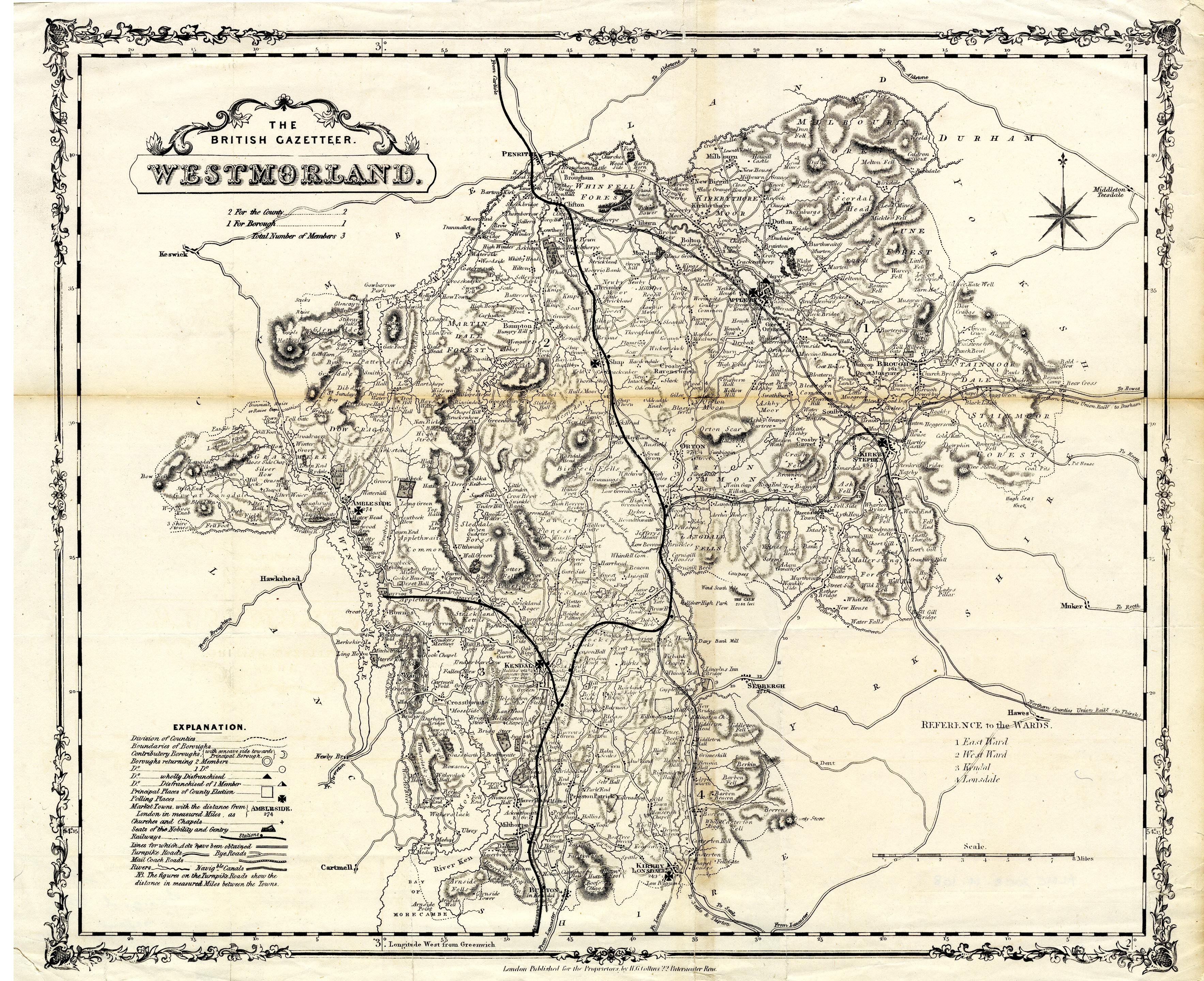
Map, uncoloured lithograph, Westmorland, scale about 3 miles to 1 inch, published by Henry G Collins, 22 Paternoster Row, London, 1849-52.
Lakes Guides menu.
 Lakes Guides menu.